
DJI Terra mapping software has transformed the way professionals process and analyze drone data since its launch in 2019. With an impressive 49 software updates over the years, this powerful tool continues to evolve, meeting the growing demands of various industries. Notably, in a recent case study, researchers used DJI Terra to process over 700GB of LiDAR data within just one day, generating detailed Digital Terrain Models that revealed ancient Maya civilizations.
Furthermore, DJI’s commitment to innovation is evident in their allocation of resources, with 25% of their 14,000-strong workforce dedicated to research and development. This focus has helped DJI maintain its dominance, controlling over 70% of the consumer drone market as of 2022. DJI Terra Pro mapping software therefore represents a significant advantage for businesses across Saudi Arabia, particularly in Jeddah, Dammam, and Riyadh, where various business sectors can benefit from its advanced mapping capabilities. This article explores the hidden features of DJI Terra that boost industrial efficiency and provide companies with a competitive edge in their mapping operations.
Seamless Integration with DJI Payloads and Drones
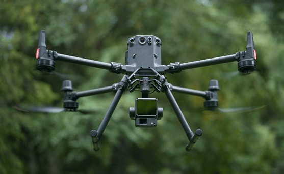
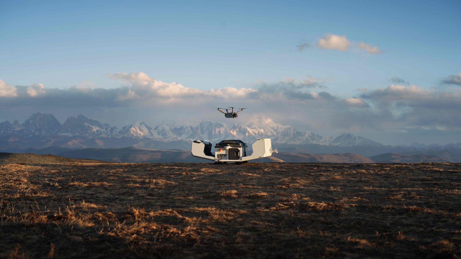
One of the most powerful aspects of DJI Terra lies in its compatibility with DJI’s advanced drone ecosystem. The software excels at processing imagery from various enterprise-grade drones equipped with visible-light cameras.
For professionals seeking centimeter-level accuracy in their mapping projects, DJI Terra works exceptionally well with specialized surveying equipment such as the Mavic 3 Enterprise, Zenmuse P1, and Phantom 4 RTK. This integration provides significant advantages for businesses across Saudi Arabia’s industrial centers in Jeddah, Dammam, and Riyadh, where precision is often critical to project success.
The software’s seamless communication with these devices eliminates common workflow disruptions. Unlike competing solutions that require complex workarounds for data transfer, DJI Terra directly imports flight data and imagery without conversion steps or compatibility issues. Additionally, the platform recognizes and properly processes the metadata from DJI payloads, ensuring accuracy in the final outputs.
This unified ecosystem approach benefits multiple business sectors by streamlining operations. Construction companies can quickly generate accurate site models, agricultural businesses can efficiently process field surveys, and energy companies can precisely map infrastructure – all using the same software platform regardless of which DJI drone collected the data.
Moreover, DJI Terra mapping software processes data from these sources while maintaining the integrity of important geospatial information, resulting in highly accurate deliverables for industrial applications.
Hidden Processing Features That Save Time
Behind DJI Terra’s interface lies a powerful processing engine that significantly reduces project completion times. The software’s standalone reconstruction processing speed outperforms other mainstream solutions by 3-5 times, making it essential for time-sensitive projects across Riyadh, Jeddah, and other Saudi Arabian industrial centers.
Cluster reconstruction capabilities further amplify efficiency, allowing DJI Terra mapping software to process data in parallel across networked computers. This feature enables processing of up to 768,000 photos with 128GB RAM, compared to just 51,200 photos in standalone mode.
Memory optimization stands as another remarkable improvement. Previously, Terra required 64GB RAM to convert 22,744 images into a high-quality 3D model over 4 days. Currently, the same task requires only 12GB RAM, freeing up computing resources for other tasks.
For LiDAR applications, ground point classification has been streamlined with customizable parameters for different terrain types. Users can select between flat ground, gentle slope, and steep slope settings to optimize processing. Subsequently, the point cloud reconstruction efficiency has improved approximately threefold compared to previous versions.
These enhancements prove especially valuable in Saudi Arabia’s business sectors, where quick data processing creates tangible competitive advantages. Additionally, the software can now process more data on a single device than most competitors, making DJI Terra Pro mapping software an indispensable tool for efficiency-conscious professionals.
Advanced Mapping Tools for Industrial Use Cases
DJI Terra stands out for its industrial-focused toolset that maximizes efficiency across diverse sectors. The software intelligently generates waypoints and flight routes based on imported 3D models or point clouds, displaying simulated camera views for precise waypoint selection. This automated inspection workflow proves invaluable for businesses in Riyadh and Jeddah requiring repetitive structural assessments.
For forestry applications throughout Saudi Arabia, DJI Terra processes both photogrammetry and point cloud models, enabling advanced classification of forest data. The software excels at handling large-scale projects, processing up to 30,000 photos on a single workstation within three days.
The integration of LiDAR with visible light data represents a major advancement. In fact, a single Zenmuse LiDAR acquisition simultaneously generates precise point clouds, 2D maps, and 3D mesh models—essential for capturing complex structures like bridges and substations.
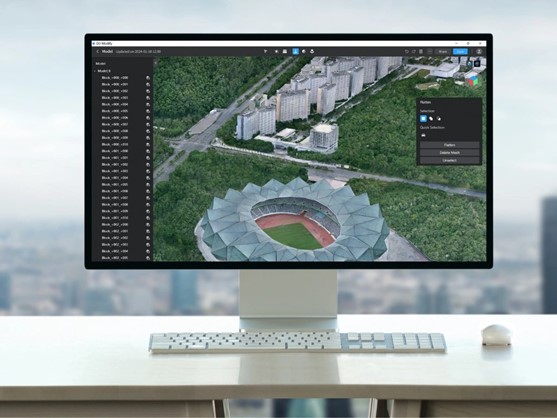
DJI Terra Pro mapping software offers seamless one-click activation with DJI Modify for intelligent 3D model editing. This integration streamlines workflows across Dammam’s industrial sector by automatically generating processing files for efficient post-editing.
The platform supports exporting to multiple industry-standard formats including TIFF, LAS, B3DM, OSGB, OBJ, S3MB, and I3S. Consequently, the results integrate easily with GIS, CAD, and third-party platforms across surveying, gaming, and film production industries, making DJI Terra an essential tool for business sectors throughout Saudi Arabia.
Conclusion
DJI Terra mapping software represents a significant technological advancement for businesses seeking efficiency in their operations. The platform’s exceptional integration with DJI’s ecosystem eliminates workflow disruptions while delivering precision results across multiple industries. Time savings emerge as a core benefit through Terra’s processing capabilities, which outperform competitors by 3-5 times and handle substantially larger datasets with fewer computing resources. Additionally, the specialized tools for industrial applications make Terra particularly valuable for sectors ranging from construction to forestry throughout Saudi Arabia.
The software’s ability to process both photogrammetry and LiDAR data simultaneously transforms how companies approach complex mapping projects. Businesses in Jeddah, Riyadh, and Dammam therefore gain a competitive edge through faster project completion and more detailed outputs. The export compatibility with industry-standard formats consequently ensures that Terra fits seamlessly into existing workflows across various business sectors.
Overall, DJI Terra stands as an essential tool for forward-thinking companies looking to maximize efficiency in their mapping operations. Professional users undoubtedly benefit from the continuous improvements DJI has implemented across nearly 50 software updates. Companies interested in elevating their drone mapping capabilities can reach for Abdulrahman Alshareef Group for more information about DJI drones and how Terra’s advanced features might address their specific industrial needs. The ongoing development of this powerful software suggests that DJI will continue enhancing Terra’s capabilities, further cementing its position as a leading solution for industrial mapping applications.